Select stops on the map
Draw a shape around stops on the Cockpit map and every order inside it is selected, ready to plan.

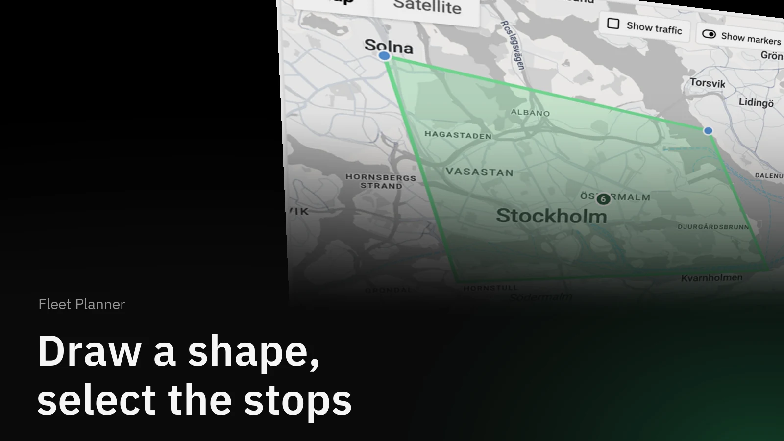
Ticking orders one by one in the table is slow when what you really mean is "everything in Vasastan". Now you draw that on the map instead. Click around the stops you want, close the shape, and every order inside is selected.
How it helps
Planners think in areas: the city centre run, the stops south of the water, the cluster around the industrial estate. The order table does not know about areas, but the map does. Selecting on the map turns "those ones there" into a selection in a few clicks, and the selection behaves exactly as if you had ticked the orders in the table.
How it works
Click the pen above the map to start drawing.
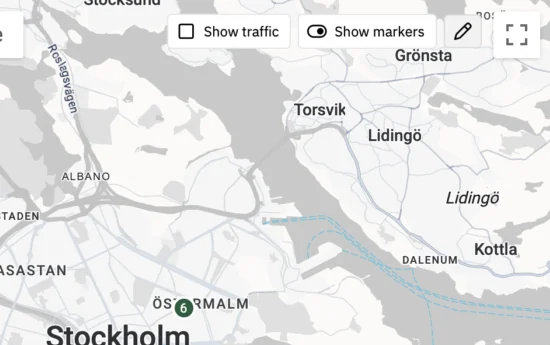
Click on the map to place the first corner, then keep clicking to outline the area. Click the first corner again to close the shape.
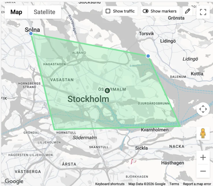
Every unhandled stop inside the shape is selected. Whole orders come along: if only the pickup was inside, the dropoff is selected with it. The shape disappears once the selection is made, and the orders are ticked in the table and shown on the map, ready to plan into a tour or send to a carrier.
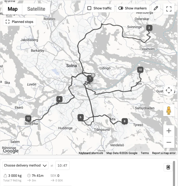
A closer look
Drawing adds to what you already had selected, so you can combine two areas, or draw one and then tick a few more orders in the table. The shape only picks up unhandled stops that are currently shown, so an active filter narrows what you select.
Get started
- In Cockpit, click the pen above the map.
- Click around the stops you want, and click the first corner again to close the shape.
- Plan the selected orders as usual.
Selecting on the map is available to everyone who uses Fleet Planner.